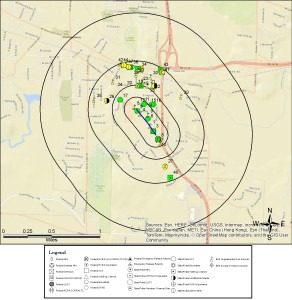
The Linear or Corridor Search Report is perfect for projects that follow a line like roads, railroads, pipelines, etc.. Simply provide us with a shapefile or a map with the project area via fax or email and one of our GIS mapping experts will create a custom Rec-Check Report with a one-mile radius around your linear area or corridor rather than a point.
